
Bloomfield Township Neighbors by Parcel
A block search starts with a physical relationship between parcels. The public sources below can show a lot line, PIN, legal description, map layer, recorded party, or dated association route. They do not create a dependable list of everyone at nearby addresses. An owner or taxpayer field can represent a trust, estate, business, or mailing contact, and a deed party may have no occupant relationship. State each source's role and date before comparing records.
| Source | What It Shows About a Block | Access |
|---|---|---|
| Oakland County Property Gateway | PIN or property-address results, map-click route, parcel context, and available report products. | Online search; reports and maps can be fee-based. |
| Bloomfield Township BS&A | Address, name, or parcel-number route to current property, land, sale, and building context. | Online reference material; local office corrects record questions. |
| CivicSight reference map | Lot lines, limits, subdivisions, water, roads, rights-of-way, and local agreement layers. | Dated online PDF; reference-only, not a survey. |
| Oakland Super Index | Recorded-party and legal-description trail for a particular adjoining parcel. | Guest index search; images and downloads are paid. |
| Historic maps and directories | Earlier adjacent owners, roads, and dated household listings. | Library, historical society, catalog, or archive route. |
Use the closest source to the question. The parcel map answers adjacency. The property record can describe the parcel. A deed index connects recorded documents to a legal description. Directories and historic maps add dated context. None should be stretched into a current personal profile.
Map Bloomfield Township Neighbor Parcels
The adjacent-parcel method keeps the work grounded in geography. Begin with the subject address and PIN, then inspect the parcels that actually touch its lot lines. Separate a shared road, water feature, marsh, right-of-way, or no-through road from a shared boundary. In a subdivision, a similar street name or nearby building footprint is not enough. The legal description and map date provide the needed context.
- Search the address in Oakland County Property Gateway or use the map-click option. Record the PIN, exact property address, and date of the result.
- Open the parcel view and identify the touching PINs or lot lines. Note roads, water, rights-of-way, and other layers that interrupt a visual connection.
- Check each PIN in Bloomfield Township BS&A for the fields publicly available for that parcel. Keep assessment or sale context separate from an occupancy claim.
- Use the legal description or PIN in the Super Index when a recorded-party trail is needed. Compare dates and roles for each adjoining parcel rather than merging names.
For a whole named road, rather than the immediate block, use the Bloomfield Township street directory. It follows the address-record chain in greater depth and should not be confused with a small-radius parcel comparison.
Note: Preserve the map date, PIN, and legal description for every parcel before comparing nearby records.
Bloomfield Township CivicSight Layers
The CivicSight PDF makes local block context unusually visible. It is dated October 15, 2024 and cites an October 9, 2024 data date, with a scale of one inch to 374 feet. Listed layers include LOT LINE, MARSH-SWAMP, ROAD EDGE, TOWNSHIP LIMITS, SUBDIVISIONS, RIVERS/STREAMS, POND/WATER, BUILDING LINE, SIDEWALK MAP HOTLINK, PARCEL LAYER, BUILDING FOOTPRINTS, NO THROUGH ROADS, and RIGHT-OF-WAY.
Three labels are especially local: PINK AGREEMENT, ROADWAY 425, and PARKING LOTS 425. They are map vocabulary, not proof of a private right, ownership, or a legal agreement's terms. The map is marked reference-only and is not a survey. It can explain why a block has a water edge, an unusual road connection, or a subdivision break, but a survey, deed, plat, or official boundary record controls the legal question.
Check Bloomfield Township Neighbor Records
Property Gateway accepts one PIN or property-address search, a map click, and at least five characters. It supports partial addresses, wildcard patterns, and comma-separated PINs. This is useful when several adjoining parcels need to be checked in a consistent way. The county offers property maps, historic and current aerials, elevation contours, FEMA DFIRM context, and custom parcel, owner, or tax products. Update schedules and classifications vary by municipality, and fee-based reports should be labeled with their product and report date.
BS&A offers Address, Name, and Parcel Number choices. Its detailed address route can use street address and street-number range where enabled. The local portal is reference-only, so a discrepancy belongs with the township Assessor. The Assessor reports more than 18,000 real-property parcels and can handle parcel-record questions at 248-433-7710. A property field identifies a relationship to the parcel, not necessarily a person who is present there.
| Official source | Best use | What to retain |
|---|---|---|
| Property Gateway | Locate and compare nearby PINs | Search string, PIN, property address, map or report date. |
| BS&A | Review current property and building context | Assessment year, legal description, source disclaimer, displayed field label. |
| Super Index | Compare recorded instruments on a parcel | Document number, recording date, party role, legal description, image status. |
Bloomfield Township HOA Route
Bloomfield Township maintains a homeowners-association page as a community and administrative route. The Clerk says most or all neighborhoods have associations, while also making clear that the township has no role in HOA restrictions. Associations provide their information. That makes the list useful for identifying an association name, website, subdivision context, or a route for a formal community question, not for creating a personal contact list or deciding who belongs to a block.
The township's association form can collect the association name, subdivisions, annual meeting date, officer and architectural-review roles, website, lake-access information, United Homeowner's Association relationship, and affiliated-association details. The reviewed sources did not establish a current published list inventory or date. Use the official association route and avoid copying private names, email addresses, postal addresses, or phone numbers from an association submission.
The township HOA page is the source for the captured association-contact material.
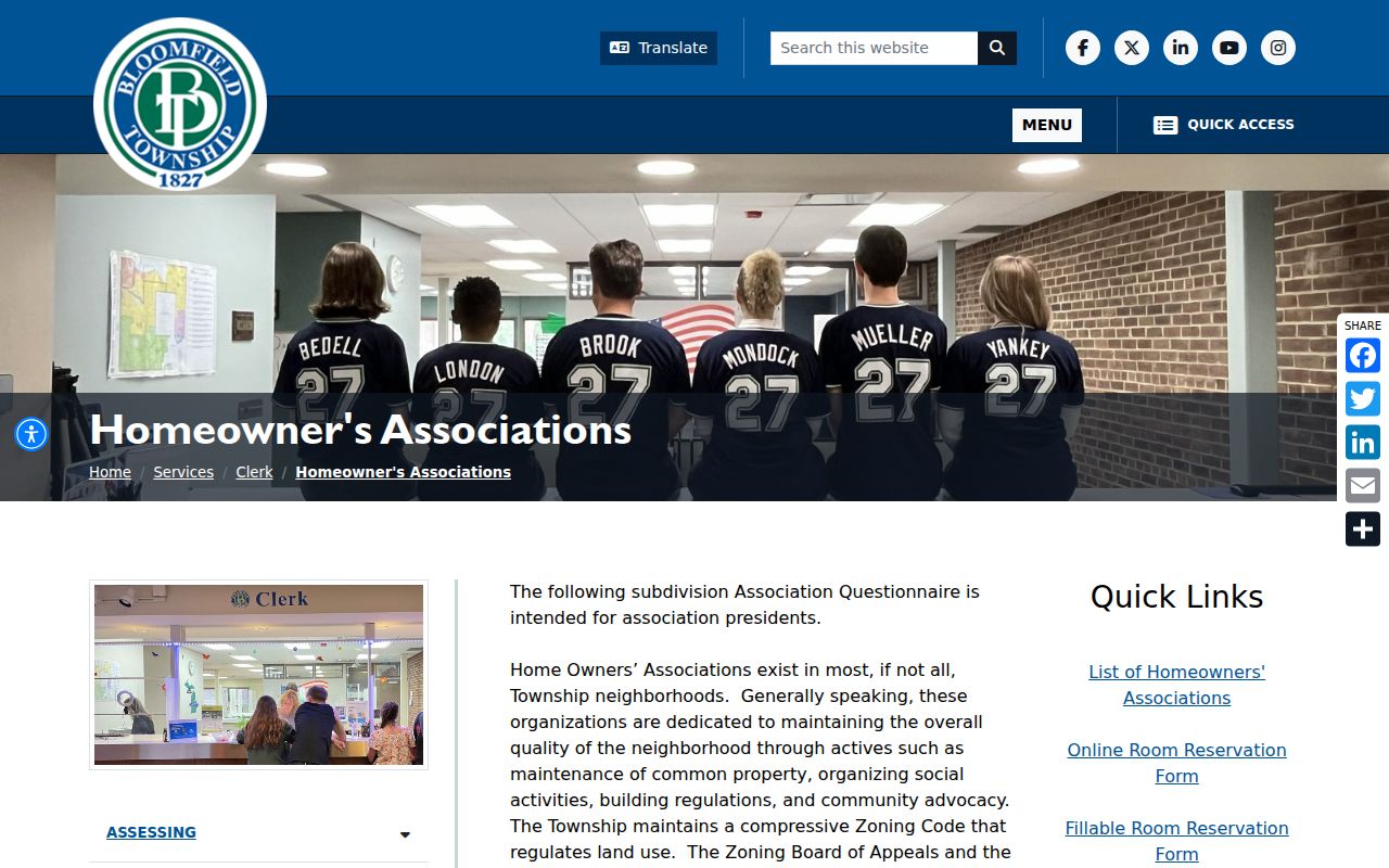
The image documents a community-association route, not a resident roster. Check the association's current publication choices and the township disclaimer before using any contact channel.
Bloomfield Township Permit Notices
The Clerk says it notifies an HOA architectural chair or president about permits and hearings and offers township meeting rooms. That explains why an association can appear in a neighborhood communication path. It does not establish attendance, household membership, current occupancy, or a public list of people on a street. A permit record is dated administrative evidence tied to a project, applicant, contractor, or property process.
For a permit or building question, the township's online activity workflow is account-linked and can require the correct municipality selection. Recent permits may appear only as the last result page, and older or unposted material may need a focused public-record request. The Building Division, Clerk, and Assessor are better fallbacks than assumptions based on a notice. Give the address or PIN, record type, date range, and requested format.
| Official route | Question it can answer | Careful interpretation |
|---|---|---|
| HOA page and association form | Association or subdivision connection | Not a membership or resident directory. |
| Permit and building activity route | Project or inspection history | Not proof of current household composition. |
| Township records request | Non-posted administrative record | Subject to exemptions, redactions, fees, and custodian response. |
Note: A permit notification is a communication process, not a public statement about everyone nearby.
Historic Bloomfield Township Neighbors
Historic neighbors are best approached with the ownership-map sequence, then checked against assessment books and directories. Bloomfield Historical Society resources identify maps from 1830, 1857, 1872, 1896, 1908, 1916, 1920, 1927, 1937, and 1947. A later subdivision may cover land formerly associated with several owners. Compare road placement, map scale, lot and subdivision information, and the period's legal geography before treating a historical adjacent name as the same modern parcel.
The township assessment archive runs from 1844 through selected 1976 books. Handwritten earlier volumes need manual page reading, while the 1934 through 1976 material is described as typed and OCR-searchable. The Bloomfield Township Public Library History Collection, historical society resources, catalog, and digital archives provide online and in-person routes. Ask for a specific map edition, assessment year, or directory volume so staff can locate the right format and access conditions.
Bloomfield Township Neighbor Privacy
Parcel proximity is not a license to combine or republish personal data. Michigan's Address Confidentiality Program can give qualifying participants a designated substitute address and mail forwarding. Voter files protect fields including phone, full birth-date components, driver-license or state-ID information, and signatures. Court systems can suppress categories, and library or paid-portal access rules remain in force. A public map, deed, or directory entry must be read within the limits set by its custodian and date.
| Official records | Commercial directory tools |
|---|---|
| Identify a custodian, source date, field meaning, correction route, and access limit. | May combine sources with unclear dates or relationships; treat results as leads, not verified facts. |
| Parcel and deed records describe land or recorded roles. | A broad proximity result does not establish who is present at an address. |
Use a records question that is narrow enough for the custodian to answer. For example, request a dated parcel map or an identified permit record rather than asking for a list of people. Do not use a published address or a block result to watch, harass, or confront anyone.
Bloomfield Township Neighbor Requests
Online routes include Property Gateway, BS&A, Super Index, township maps, CivicSight, the permit service, and library or historical collections. For a map, assessment, permit, or association-metadata question that is not available online, visit or contact the appropriate office. The county GIS service center is 248-858-8812, the township Assessor is 248-433-7710, the Clerk is 248-433-7702, and the Register of Deeds is 248-858-0597.
Mail, phone, and email requests should first confirm whether a copy fee, appointment, paid image, or account is required. For a township public record, use the Bloomfield Township NextRequest portal or the responsible custodian's record-request route. Michigan FOIA generally provides five business days for a response, with a possible ten-business-day extension. Describe the address or PIN, dated record type, and desired electronic format so the office can separate exempt material from releasable records.