
Bloomfield Township Previous Residents Sources
A sound backward trail uses records in eras. The county's online deed index provides a modern starting line, but it does not replace older township material. Historic assessment books, ownership maps, local directory shelves, newspapers, and the released census can fill gaps between a current parcel and a nineteenth-century road reference. Match the legal description, lot, subdivision, or PIN before treating entries as the same property.
| Source | Years It Covers | Where Held | What It Shows |
|---|---|---|---|
| Oakland County Super Index | Indexed material stated back to January 1, 1964 | Online index and Register of Deeds | Recorded parties, document numbers, dates, and legal-description information. |
| Township assessment books | 1844 through selected 1976 books | Township history resources and local repositories | Assessment-era owner, address, parcel, value, and building context. |
| Ownership maps | 1830, 1857, 1872, 1896, 1908, 1916, 1920, 1927, 1937, 1947 | Bloomfield Historical Society resources | Historic owner names, roads, and land patterns. |
| Directories and newspapers | Edition and title dependent | BTPL, OCHS, and digitized local collections | Dated household, street, telephone, and local-notice leads. |
None of these sources proves a continuing connection to the address. A prior owner, trustee, mortgage party, contractor, or estate contact has a record-specific role. Label a result by its source and date, such as a recorded party or a directory listing, rather than turning it into a present-tense claim.
Bloomfield Township Address Records Before 1964
The Oakland County Super Index is the practical online starting line for a deed trail. Oakland County states that its scanned and microfilmed records and indexed material reach back to January 1, 1964, with subdivision plats treated as an exception to that coverage statement. Guest users can search indexed data. Names and legal descriptions can be added as indexing is completed, so a newly recorded document can be searchable by date, Liber/Page, or document number before every index field is present.
The search accepts a name, address, PIN, document number, or legal description through its broad search and advanced controls. Result rows offer sorting, filtering, thumbnails, document numbers, verification icons, and page sizes of 25, 50, 100, or 200. Images and PDF downloads move through the paid cart. Save the query, search date, document number, and whether the evidence came from the index or the paid image.
For material before the stated online period, do not infer that no deed exists. The reviewed sources did not identify a comprehensive pre-1964 online deed index or an exact deed-book access path. Use the township assessment material, maps, directories, newspaper archive, and an in-person repository inquiry to continue the trail.
Note: A Super Index party is a role in a recorded instrument, not proof that the person lived at the address.
Follow Bloomfield Township Deed Records
Start from the property record rather than a surname. The Bloomfield Township BS&A service and Oakland County Property Gateway can supply a parcel address, PIN, lot or subdivision description, tax-year context, and related property data. A street address can change in style over time. The legal description is the stronger bridge when an old record uses a road name, farm description, or different postal label.
- Capture the current parcel's PIN, exact situs address, subdivision or lot, and legal description. A situs address is the parcel's physical assessment address, which can differ from a mailing address.
- Search the Super Index with the PIN, legal description, address, or a known recorded party. Record the document number and recording date for the most recent matching transfer.
- Read the instrument role and then search the earlier transfer using the prior party, legal description, and document details. Confirm the parcel at every link.
- Continue backward through deeds, releases, mortgages, liens, foreclosure documents, and related recorded instruments without assuming every party was an occupant.
- When the online trail reaches its stated limit, shift to the named assessment book, map year, directory edition, or repository request that fits the missing period.
- Grantor
- The party transferring an interest in a recorded instrument. The role does not by itself describe residency.
- Grantee
- The party receiving an interest in a recorded instrument. It is a document role, not automatically an occupancy record.
- Chain of title
- A sequence of recorded property interests linked by the same legal description, parcel, or lot rather than a name alone.
- Legal description
- The lot, subdivision, metes-and-bounds, or other formal land description used to distinguish a parcel when an address changes.
Bloomfield Township Assessment Records
The township's official history materials identify historic assessment rolls from 1844 through selected books in 1928, the 1930s, 1940s, 1950s, and 1976. Older volumes require manual reading of handwritten names and address information. The township describes the 1934 through 1976 books as typed and OCR-searchable. OCR is a finding aid, so a search hit should always be checked against the page image and nearby entries.
The Bloomfield Township history resources identify the assessment-run dates alongside township minutes and digitization links. Ask for an exact assessment year or book rather than a broad request for all historical material. That lets the repository determine whether the volume is online, reference-only, digitally searchable, manually browsable, or available by appointment.
The assessment series offers a local bridge before the online parcel portal. It can be compared with a nearby directory, a map edition, and a recorded instrument. Differences between an assessment year and a deed recording date are expected and should be preserved, not flattened into one move date.
Bloomfield Township 1976 Tax Records
The township's 1976 tax-card sample is a detailed assessment snapshot. It displays a property or situs address, parcel or PIN, owner, legal lot and subdivision, assessed and tax values, paid status, acreage, and building information. Those fields can anchor an address history to a particular year, then point toward the corresponding parcel, map, directory, or deed search. They should not be read as a current ownership record or a certified title opinion.
The captured township history page leads to the assessment-roll material and its date context.
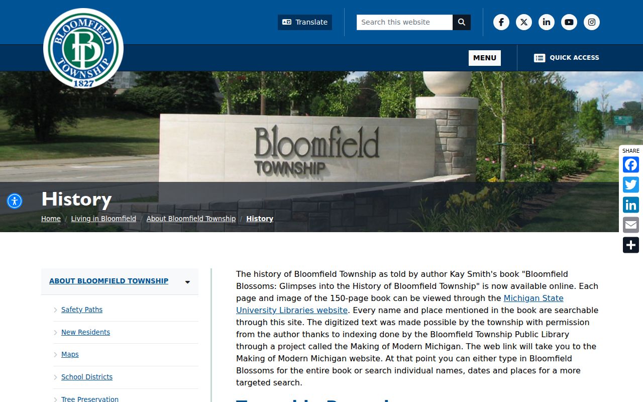
The assessment-roll image helps show why a year, parcel reference, and legal description should travel with every historical name. It is an assessment record, not a stand-alone statement about later occupants.
Note: Compare a 1976 card with a deed and a dated directory before drawing a household conclusion.
Bloomfield Township Historic Address Records
Bloomfield Historical Society resources list ownership maps for 1830, 1857, 1872, 1896, 1908, 1916, 1920, 1927, 1937, and 1947, plus a 1915 Bird's Eye View. A map can place an older owner name beside a road or farm before modern subdivision patterns and house-number conventions. Start by recording the edition year, road wording, scale, and adjacent names. Then compare the old geography with a legal description or parcel map rather than relying on a visual resemblance.
The historical society resource list also identifies assessment records, township minutes, and local research links. Bloomfield Township boundaries changed over time, and the township surrounds the City of Bloomfield Hills. A historical Bloomfield label can therefore belong to a period geography that does not map neatly onto a present postal or municipal label.
Bloomfield Township Past Households
Directories add a household layer that a deed chain cannot provide. The local holdings include Birmingham and Bloomfield Township materials from the 1920s, Polk Birmingham directories for 1937, 1984, and 1985, a Birmingham-Bloomfield Hills Community Directory for 1986, and Pontiac-Bloomfield Hills telephone directories for selected 1935 through 1943 years. Bresser and criss-cross formats can work from a street or phone reference back to a listed household head. A directory listing is evidence for that edition date only.
Pair each directory edition with the nearest available released census and a compatible assessment, deed, or newspaper date. The Bloomfield Township city directory collections page identifies the local shelves and explains how directory entries and abbreviations should be read. The Birmingham-Bloomfield Eccentric archive is a useful dated newspaper route, but the reviewed BTPL page did not establish a separate complete obituary index by title and year.
- Choose the directory edition nearest the assessment or recorded document date.
- Copy the address exactly as printed, including Birmingham, Bloomfield Hills, or township wording.
- Compare the household line with the released census for the same time period, without treating a census address as a later one.
- Use maps, tax cards, and deeds to test whether the printed address refers to the same parcel.
Bloomfield Township Archive Records
Online sources include the township history pages, historic PDFs, the Super Index, local digital archives, and the Oakland County Historical Society catalog. The Bloomfield Township Public Library History Collection is the practical in-person hub for directories, yearbooks, photographs, newspapers, local organizations, and genealogy resources. Reference materials do not circulate, and archive materials are consulted under staff supervision. The library is at 1099 Lone Pine Road and can be reached at 248-642-5800.
For a local office record, contact the township Assessor at 248-433-7710, the Oakland County Register of Deeds at 248-858-0597 or deeds@oakgov.com, or the county GIS service center at 248-858-8812. In-person options include the Assessor, Register of Deeds, library, historical society, and other archives named by the library. Call or email before visiting to ask whether an exact volume or image is available and whether a copy fee or appointment applies.
Mail, phone, email, and Michigan FOIA are fallbacks for non-indexed cards, permits, assessment material, historical rolls, and administrative records held by a public body. Describe the address or PIN, exact record type, date range, and preferred electronic format. A focused request lets the custodian apply any fee, exemption, or redaction rather than guessing about a broad name search.
Bloomfield Township Previous Residents Limits
Do not use a historic result to announce who is at an address now. An older directory, tax card, map label, deed party, probate heir, or newspaper item has a defined date and institutional purpose. Bloomfield's postal geography adds another check: Birmingham or Bloomfield Hills wording may appear in a historical line even when another record identifies a township parcel. Preserve both labels and explain the date instead of forcing a modern name onto older evidence.
Michigan's Address Confidentiality Program can provide qualifying participants a designated substitute address and mail forwarding. Court suppression, restricted vital records, library access rules, paid images, and record-custodian correction channels also set limits. Use records for family history, estate and heir questions, or personal address-history research. Do not use a published record to watch, harass, or confront anyone.