
Bloomfield Township ZIP Code Coverage
Four ZIP codes appear on the official township ZIP map. They are useful delivery and search labels, not parcel boundaries. The map places 48009 with a Birmingham label and shows a Birmingham 425 agreement area. It presents 48301 in Bloomfield and Bloomfield Hills context, 48302 as Bloomfield, and 48304 as Bloomfield Hills. A result using one of those names should retain the printed postal label instead of silently changing it to a township or city name.
| ZIP | Areas Covered | Post Office | Notes |
|---|---|---|---|
| 48009 | Township map area carrying a Birmingham label | Birmingham map label | The map also marks a Birmingham 425 agreement area. |
| 48301 | Bloomfield and Bloomfield Hills map context | Bloomfield / Bloomfield Hills map context | Postal wording does not choose between township and city. |
| 48302 | Bloomfield area on the local and statewide maps | Bloomfield map label | Confirm a parcel before assigning a legal unit. |
| 48304 | Bloomfield Hills map context | Bloomfield Hills map label | A Bloomfield Hills postal label is not township proof. |
Oakland County parcel records, recorded deeds, plats, tax maps, and surveys answer the legal-boundary question. A ZIP code is still valuable for sorting correspondence, matching a historical directory line, and narrowing a delivery-address check. It is simply not evidence that the parcel lies in a particular municipality. The Birmingham and Bloomfield Hills labels are especially important when comparing a printed directory entry with a township assessment or county parcel record. Keep both descriptions in the working notes, then explain which office created each one.
Note: Keep the source date and the postal label together when comparing older address records with a current parcel result.
Bloomfield Township's 2003 ZIP Map
The official township ZIP map is dated February 20, 2003, with a March 27, 2003 footer. Its printed warning directs boundary questions to recorded deeds, plats, tax maps, surveys, or other public records. That warning is important in Bloomfield Township, which surrounds the City of Bloomfield Hills and uses postal labels that also point toward Birmingham, Pontiac, and West Bloomfield. Treat the colors and labels as a dated geographic reference.
The Bloomfield Township map suite is the source for the captured map material. Its ZIP, street, township-area, precinct, school-district, zoning, future-land-use, and safety-path products serve different purposes. The township lists separate prices for several printed map formats, including ZIP, street, precinct, school, future land-use, safety-path, and zoning products.
The map suite lists fees tied to the product and format. The township lists a ZIP map at $1 for a letter copy or $3 for a small copy; street maps at $4.50 or $6; precinct maps at $3, $4.50, or $6; and school maps at $3 or $6. Future-land-use and safety-path maps are listed at $3, while zoning maps are listed at $6. Record the requested map title, edition, format, and fee rather than treating one map purchase as access to every boundary record.
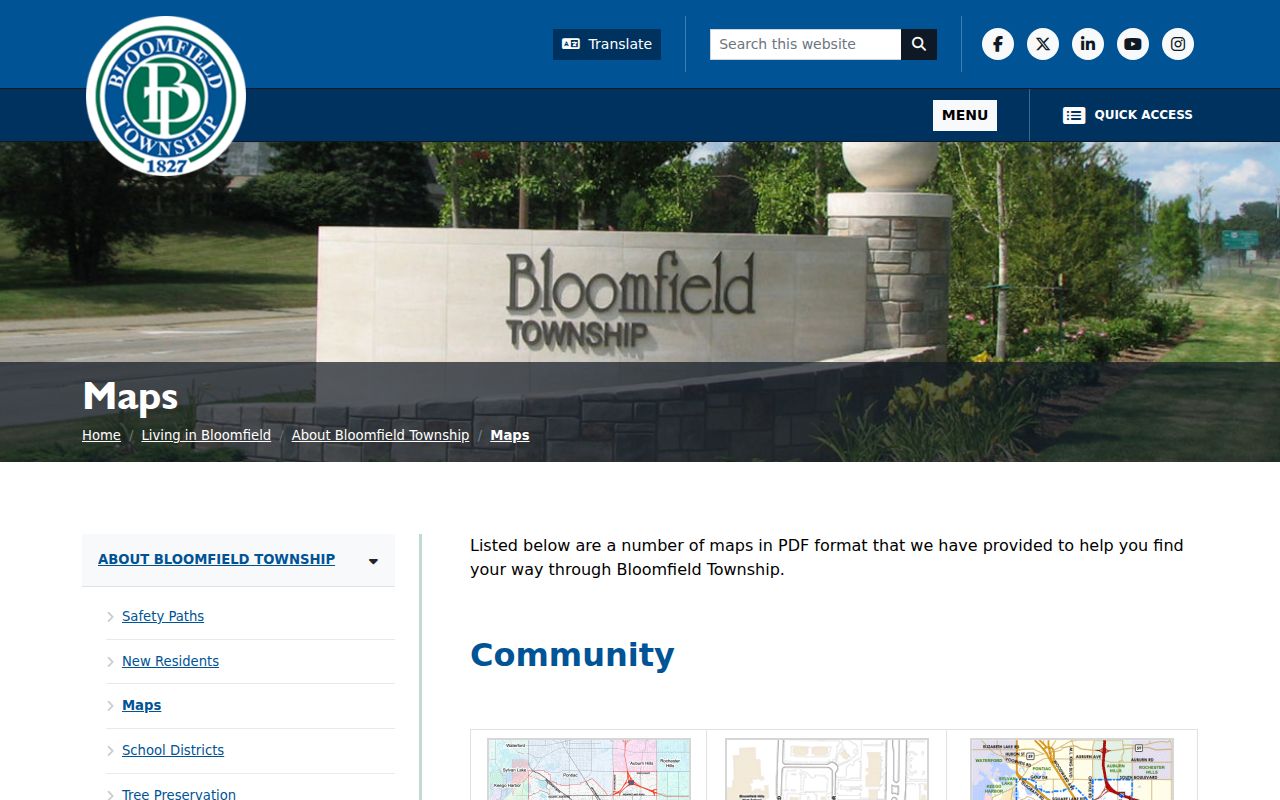
The map suite image is a starting point for reading a date, legend, and label. It does not replace the record that controls a parcel, a township boundary, or a tax jurisdiction.
Normalize a Bloomfield Township ZIP Code
Use the USPS ZIP Lookup to standardize delivery information from Address, City, and State fields. The tool helps confirm a mailing ZIP. It does not decide whether the address is in Bloomfield Township, the City of Bloomfield Hills, Birmingham, or another jurisdiction. Preserve the address exactly as entered, including directional words and street suffixes, before comparing it with a map or property record.
| Tool | Fields or method | Useful result | Limit |
|---|---|---|---|
| USPS ZIP Lookup | Address, City, State | Delivery-ZIP normalization | Not a township-boundary decision. |
| Property Gateway | PIN or property address, at least five characters; map click also works | PIN and property-address route | Reports and maps may be fee-based. |
| MVIC | First name, last name, birth month, birth year, ZIP | Election and registration information | ZIP is an identity-match field, not a voter-file download. |
The Michigan Voter Information Center uses ZIP with a name and birth-month/year combination. It does not turn a ZIP code into a list of people. Michigan protects sensitive voter fields, including phone, driver-license or state-ID information, full birth-date components, and signatures.
Search a Bloomfield Township ZIP Code
A ZIP-based search works best as a narrow first pass. The next record should be matched by full address or parcel identifier. Property Gateway searches by PIN or property address, while the township BS&A service searches by address, name, or parcel number. Neither is a ZIP-wide resident list. The local postal label can guide the initial address check, then the parcel record supplies a more durable key.
- Enter the complete delivery address in USPS ZIP Lookup and record the returned postal format.
- Use the normalized address in Oakland County Property Gateway to find the PIN or property-address result. Its search accepts an address or PIN and has a five-character minimum.
- Check Bloomfield Township BS&A by Address or Parcel Number for land, legal-description, sale, and building context. Select the Oakland County municipality carefully.
- Match the PIN or legal description to a deed or plat when the result depends on township or city jurisdiction.
Once a ZIP has narrowed an area to a particular road, the address-by-address record sequence belongs on the Bloomfield Township street directory. It uses the same parcel identifiers but follows the street rather than the postal geography.
Note: A delivery ZIP, a township parcel, a school-district area, and an election precinct can all differ for one address.
Bloomfield Township ZIP Map Layers
ZIP shading is only one layer in the local map suite. The 2024 CivicSight reference map adds parcel lines, township limits, subdivisions, rivers and streams, ponds and water, building footprints, rights-of-way, no-through roads, road edges, and marsh-swamp features. It also uses distinctly local labels such as PINK AGREEMENT, ROADWAY 425, and PARKING LOTS 425. Those labels should be copied as printed, without inferring legal meaning that the map does not provide.
CivicSight is dated October 15, 2024 and cites an October 9, 2024 data date. It is marked reference-only, not a survey. That makes it useful for seeing why an address lies near a road, water feature, agreement layer, or subdivision boundary, but not for settling title, surveyed location, or municipal status. The county's GIS layers can add current and historic aerials, elevation contours, and FEMA context with their own update schedules.
Use PINs After a ZIP Search
A PIN is the county parcel identifier. It is more stable for property research than a postal label, particularly where historical directories use Birmingham or Bloomfield Hills wording for a township parcel. Property Gateway accepts partial addresses, partial PINs, wildcard patterns, comma-separated PINs, and map clicks. Its results identify the PIN and property address, while reports and maps can require payment. The county cautions that municipal classifications and update schedules vary.
For a recorded-property question, take the PIN or legal description to the Oakland County Super Index. Guest users can search indexed information by name, address, PIN, document number, or legal description. The stated indexed land-record coverage reaches back to January 1, 1964. Images and downloads are charged through the cart, so an index row should be labeled as an index result until the underlying document is obtained.
Bloomfield Township Postal Boundaries
The local and statewide ZIP maps are intentionally approximate geographic aids. The Michigan DTMB ZIP map labels 48009 as Birmingham, 48301 and 48302 as Bloomfield, and 48304 as Bloomfield Hills. It provides useful statewide context but is not parcel-level proof. The township ZIP map's 425 agreement-area labels are another reminder that postal, service, and legal geographies may not align.
- ZIP code
- A delivery-routing label used by the Postal Service. It is not a legal boundary description.
- ZIP+4
- An added delivery-routing segment after the five-digit ZIP. It does not establish a township or city line.
- PO box ZIP
- A ZIP used for post-office box delivery. No such special designation was established for the four mapped local ZIP codes in the reviewed sources.
- Carrier route
- A mail-delivery route. It can help organize delivery work but does not prove parcel jurisdiction or a household relationship.
For an old address, retain the label printed in the directory, newspaper, assessment book, or deed. Compare it with the current parcel record rather than overwriting it. A historic road reference can be more useful than a present postal city when maps and legal descriptions are being reconciled.
Bloomfield Township Postal Fallbacks
When an online map cannot answer a boundary question, ask the record custodian for the dated source that does. The township Clerk and Assessor handle printed-map and local boundary-record questions; their published phone numbers are 248-433-7702 and 248-433-7710. Oakland County GIS can address Property Gateway questions at 248-858-8812. A caller should give the address, approximate date, and whether the request concerns a parcel, tax map, agreement document, or printed map edition.
For a public copy or a map layer not posted online, send a focused request through the township's NextRequest portal or use the responsible office's mail, phone, or counter route. Michigan Freedom of Information Act requests should identify the map or record, date range, and desired format. Name the map edition, layer, or agreement label when known, because each requested record may have a different source and update date. The public body generally responds within five business days and may take a ten-business-day extension. Deeds, plats, tax maps, surveys, and official boundary records remain the final fallback for legal questions.